This 10 month research project explores an alternative conceptual proposition to increasing density, encouraging community and allowing multigenerational families coexist within the fabric of suburban Belfield.
Through careful analysis of ‘left over’ space exposed externally, a proposition had been made in stages and three scales to tackle these afforementioned issues. Much of the back yards formed a communal courtyard, which were divided into a series of varying scales of gardens and courtyards. Perhaps it gives thought to our disused backyards to the option of having a shared space that connects neighbours and the community of the block.
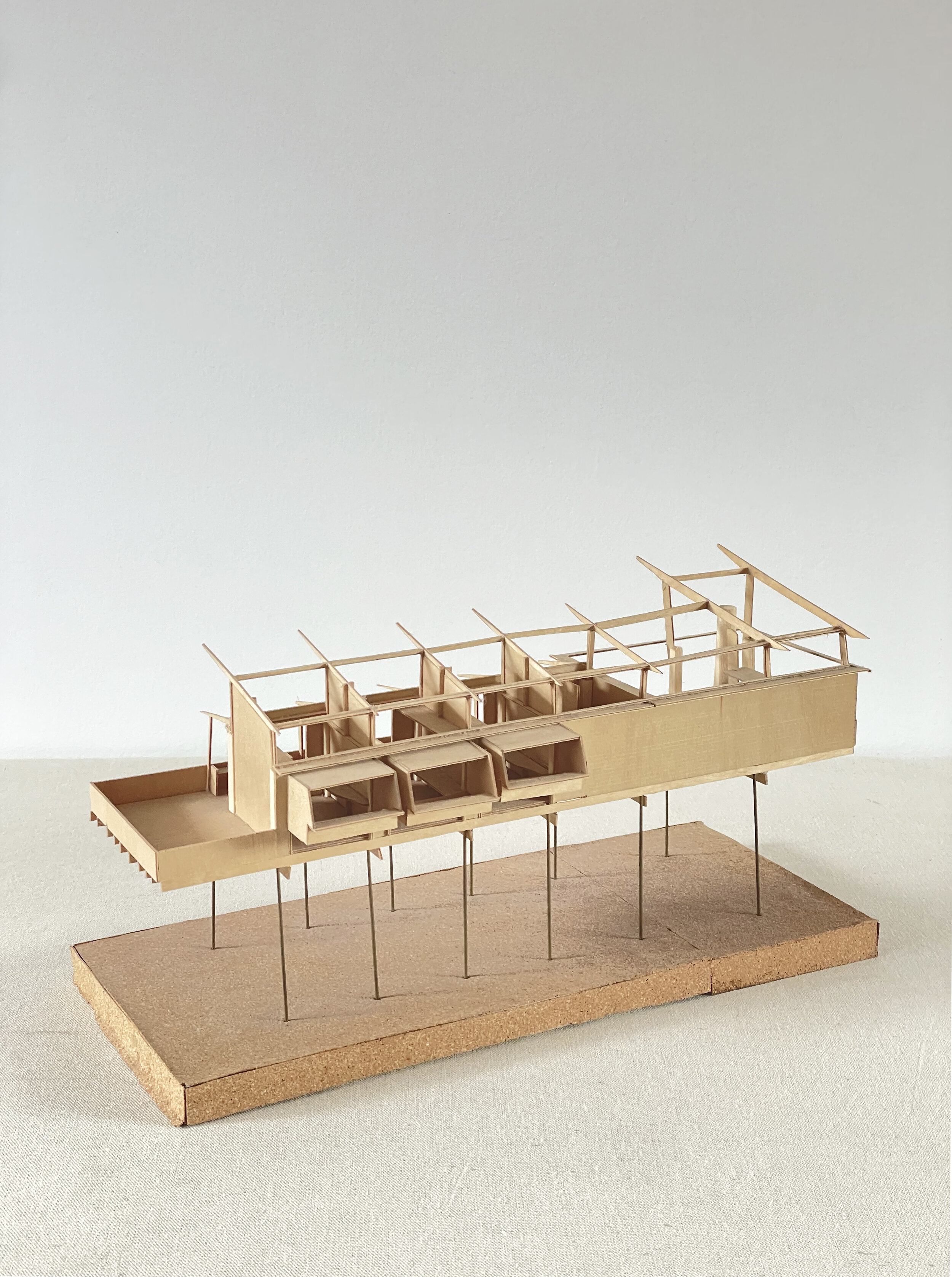
The project was also elevated, where access from the street was preserved and accommodation was provided above. This further improved construction efficiency and minimised residential disturbance, where modular ‘pods’ or panels were to be hoisted down from a crane. from the street.
1:50 Model front
First Level Accommodation
Mapping of Belfield context
Analysis of existing trees and built environment
Proposal of density increase
The brown elements are woven through existing site to convey the sense of potential additional residency mixed with proposed courtyards and public domains.